How Royal Tunbridge Wells Grew — Year by Year
Town Planning Wars | The Chronicles tells the story of four hills, five villages, one town and their interconnected destinies.
Royal Tunbridge Wells did not begin as a town. It began as a spring, found by accident on the edge of someone else’s parish, with no buildings, no streets, and no name of its own.
Everything that followed — the hills that became neighbourhoods, the neighbourhoods that became a borough, the villages that were pulled in one by one until their names became suburbs rather than separate places — happened gradually, in fits and starts, over more than three and a half centuries. Most people who live in Hawkenbury, Rusthall, or High Brooms today have no idea their part of town was once somewhere else entirely.
Here is exactly when and how that happened.
1606 — The Spring With No Town Attached
The story starts with a discovery rather than a decision. A courtier named Dudley North found a chalybeate spring while staying at a hunting lodge in Eridge, hoping the country air would improve his health. There was no town here. There wasn’t even a village. Just heath, common land, and the iron-rich water that would eventually give the place its reason to exist.
For seventy years, nothing was built. Visitors who wanted to take the waters had two options: camp on the open downs or find lodgings several miles away in Southborough. The spring had been found. The town had not yet been imagined.
1676–1684 — Four Hills, Not Yet a Town
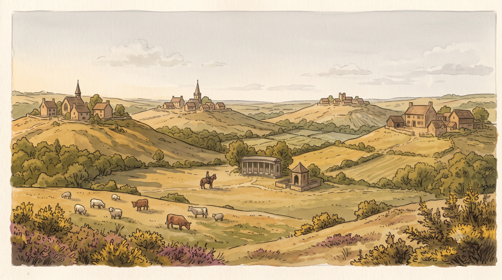
Building finally began in 1676, when houses and shops started appearing on the walks around the spring. In 1684, the Church of King Charles the Martyr was completed, and the settlement began to organise itself around it — already covered in detail in 7 Curious Corners of Royal Tunbridge Wells.
However, what existed at this point was not one town. It was several. By 1787, the antiquarian Edward Hasted surveyed the area and described it as four small, separate districts — each named after the hill it stood on: Mount Ephraim, Mount Pleasant, Mount Sion, and the Wells itself. These were not neighbourhoods of a single settlement. They were distinct hilltop communities that happened to share a spring.
The rivalry between two of those hills — Mount Ephraim and Mount Sion — would shape the town’s social geography for the next two centuries, as covered in The Mountain Feud (published 2026). What Hasted was describing in 1787 was, in effect, the opening position of that feud — four separate hills, none of them yet committed to being part of the same place.
1835 — The Town Gets a Government
For 150 years after the spring’s discovery, Tunbridge Wells had no formal administration at all. That changed in 1835, when a body called the Improvement Commissioners was established, with powers to pave, clean, and light the streets, and authority over markets and the water supply.
This is the moment the town stops being a collection of hills with a shared spring and starts being a single administrative entity — even if its physical boundaries remain modest.
1846 — The Railway Arrives
The South Eastern Railway reached Tunbridge Wells in 1845, with the proper station opening in 1846 once the Wells Tunnel had been bored beneath the town. The full story of what followed — the rival LBSCR line, the peace tunnel through Grove Hill, the eighty-year corporate feud between two companies that despised each other — is told in The Railway War Part 1 and Part 2 (both published in 2026).
What matters for this story is simpler: the railway made the town reachable, and a reachable town grows. The population, modest for the first 150 years of the spring’s existence, began climbing sharply from this point onward.
1860–1889 — From District to Borough
The Improvement Commissioners’ district was reconstituted as a local government district in 1860. By the early 1880s, the population had reached 25,000 — a remarkable increase from the scattered hilltop hamlets Hasted had described less than a century earlier.
In 1889, the town was formally incorporated as a Municipal Borough. This was the moment Tunbridge Wells stopped being a loosely governed collection of hills and became a single legal and administrative entity, with a Mayor, Aldermen, and Burgesses. The Charter is dated 16 January 1889.
1894 — The First Boundary Extension
Once incorporated, the new Borough immediately needed more room. The boundaries were extended for the first time in 1894 — the first formal acknowledgement that the town’s edges no longer matched its actual reach.
This is also roughly the period in which Decimus Burton’s Calverley Park development, covered in Calverley Park, was reshaping the northern edge of the town into the planned Victorian neighbourhood still recognisable today.
1900 — Rusthall Joins the Town
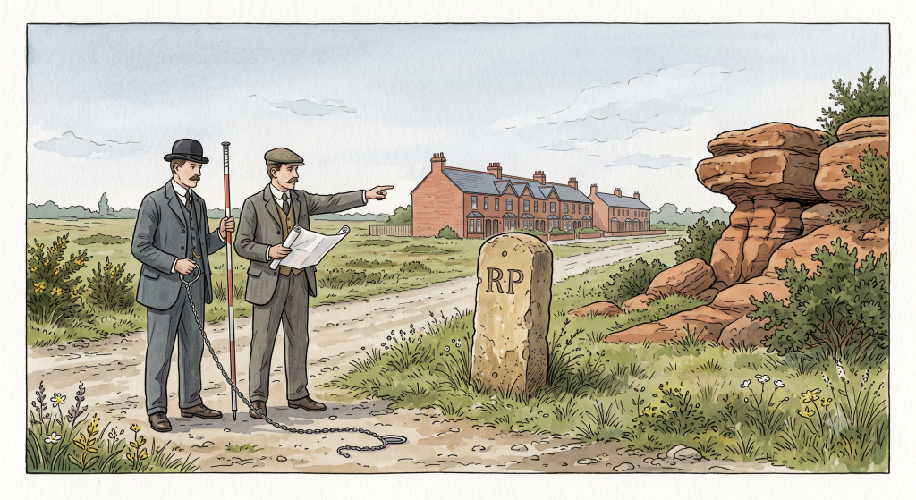
Rusthall had existed for centuries as a scattering of dwellings on the western edge of Speldhurst parish — never quite large enough to be called a proper village, its name resonating with the iron content of the local rocks, the same rocks the chalybeate spring drew its colour from.
In 1900, the Borough boundaries were extended again, this time specifically to absorb Rusthall. The place that had spent three centuries as an outlying corner of someone else’s parish was now, formally, part of Tunbridge Wells.
1902–1909 — A Royal Town
The Opera House opened in 1902 — its later life as the building now known as Wetherspoons is a Building Files candidate still in the pipeline. In 1909, Edward VII granted the town its Royal prefix, making it one of only three towns in England with that title.
1914–1918 — Wartime Growth
During the First World War, Tunbridge Wells became a military headquarters for the South East, its hospitals treating soldiers sent home with what was then called a “Blighty wound.” The town also received 150 Belgian refugees — a story still parked in the WalkTW research pipeline as The Belgian Invasion, and one that deserves its own full telling.
1920s — Hawkenbury and Rusthall Become Neighbourhoods
This is the decade that completes the absorption process for both Rusthall and Hawkenbury — not through boundary extension this time, but through housing.
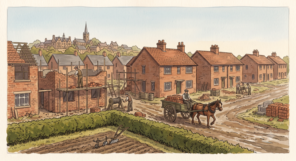
In 1920, the Corporation built thirty houses on the Hawkenbury Estate — the first significant council housing in what had previously been agricultural land to the town’s south, where the historic field patterns remain intact right up to this point. The same year, an estate was laid out at Rusthall, with more than three hundred further dwellings added in subsequent years.
This is the precise mechanism by which Hawkenbury stopped being a neighbouring village and became part of the town: not a single boundary change, but a decade of council housing that physically filled the gap between the old hilltop town and its southern edge.
1941–1945 — War Damage and a New Town Hall
The Second World War affected Tunbridge Wells differently from the First. Rather than sending its men away, the town swelled with refugees from London, straining accommodation severely. Over 3,800 buildings were damaged by bombing, though remarkably only 15 lives were lost.
In 1941, Tunbridge Wells Town Hall on Mount Pleasant Road was completed for the old Borough Council — the same year, coincidentally, that Henry Reed’s Dunorlan House was requisitioned for the war effort, as told in Nothing Without The Cross (published 2026). The mansion would not survive the decade; the park around it would be opened to the public by 1947, as covered in Dunorlan Park — The Private Paradise That Became Everyone’s (published 2026).
1945 Onward — Sherwood, Ramslye, and High Brooms
After the war, large new estates were built at Sherwood and Ramslye to accommodate the town’s growing population, while High Brooms — already absorbed into the built-up area to the town’s north — continued to develop around its own railway station on the Hastings line.
By this point, the four hilltop districts Hasted had described in 1787 — Mount Ephraim, Mount Pleasant, Mount Sion, and the Wells — had been joined by Rusthall, Hawkenbury, and High Brooms. The spring that had no town attached to it in 1606 now had seven distinct neighbourhoods, each with its own history of arrival.
1974 — The Modern Borough
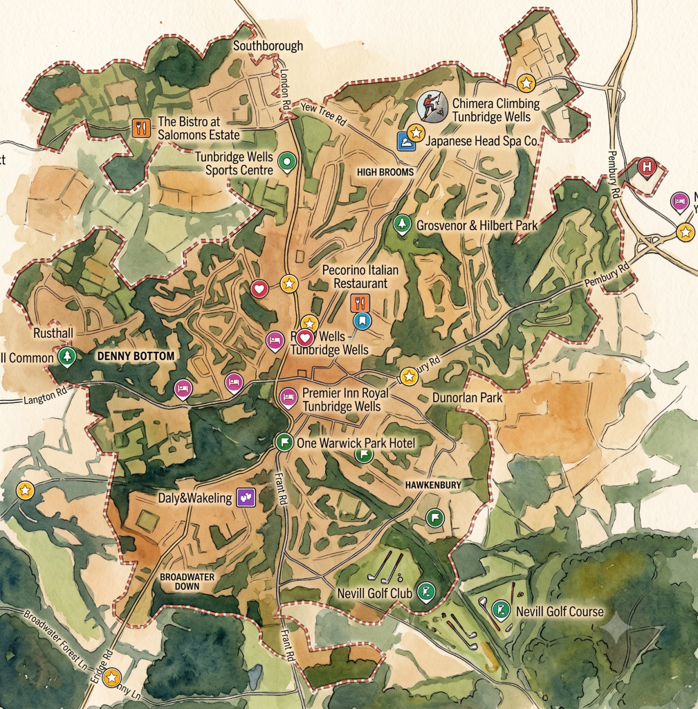
The final major structural change came in 1974, under the Local Government Act 1972. The modern Borough of Tunbridge Wells was created, absorbing the whole of three former local government districts and parts of a fourth — bringing in Southborough and Paddock Wood as towns within the wider borough. At the same time, Royal Tunbridge Wells itself remained the administrative and historic centre.
The new district was initially named simply Tunbridge Wells, without the Royal prefix — a borough charter restoring full status was received in December 1974.
What This Means for Anyone Walking the Town Today
Walk from Hawkenbury to Mount Sion, or from Rusthall to the Pantiles, and you are crossing boundaries that took three and a half centuries to dissolve. The spring discovered in 1606 had no town around it. The four districts Hasted counted in 1787 did not yet think of themselves as one place. Rusthall joined in 1900. Hawkenbury filled in through the 1920s. The borough’s modern shape wasn’t settled until 1974 — within living memory for many residents.
Every WalkTW post about a specific street, hill, or building sits somewhere on this timeline. The Railway War happened as the town was still actively expanding. Henry Reed built Dunorlan while Rusthall was newly joined to the Borough. The Pantiles scandals played out while Mount Ephraim and Mount Sion were still, technically, rival settlements rather than neighbourhoods of the same town.
The spring is still there. Everything else was built around it, piece by piece, village by village, decade by decade — and not nearly as long ago as it feels. That same spring water would later find an unexpected second life dyeing wood for one of the town’s most remarkable lost industries — read the story of Tunbridge Ware here.
Comments
One response to “One Spring, Four Hills, Five Villages, One Town”
Very interesting insight into the town and borough.