About This Tour
WalkTW Walking Tour of Royal Tunbridge Wells
Distance: 0.6 miles / 1 km
Time: 35 minutes at a relaxed pace
Difficulty: Easy — flat throughout, no hills to climb despite the subject matter
Start point: The Chalybeate Spring, 4 The Pantiles, TN2 5TN
End point: Tunbridge Wells Town Hall, Civic Way, TN1 1XR
Best time: Any day. Visit the Spring itself Wednesday–Sunday, 10 am – 3 pm, if you want to see it operating.
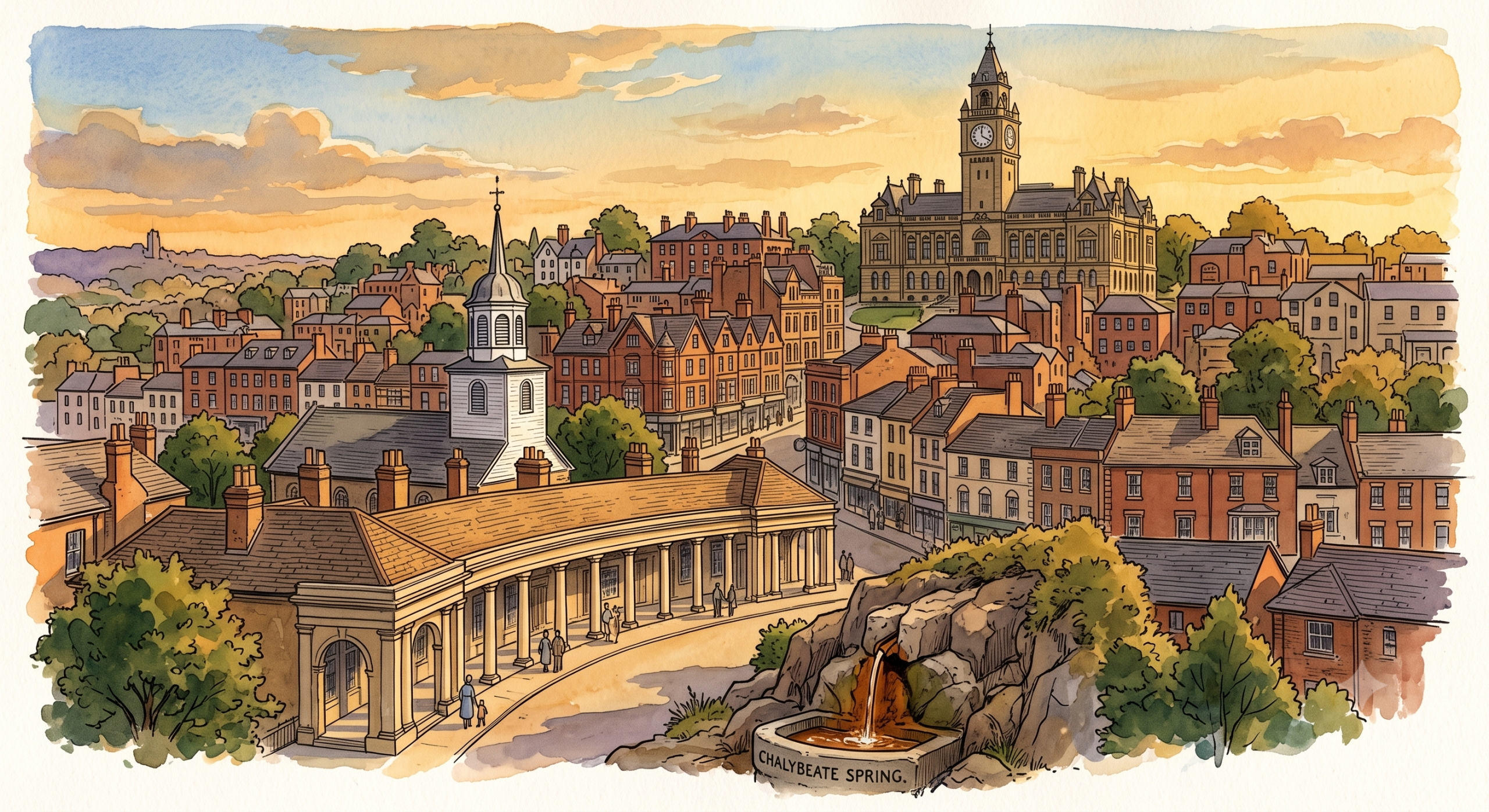
Every other Footsteps tour takes you to a specific slice of Royal Tunbridge Wells — the Georgian scandal, the Railway War, the Victorian park. This one takes you through the town’s own origin story: how a single spring, discovered by accident in 1606, grew into four separate hilltop settlements that didn’t yet think of themselves as one place — and how they eventually became the town whose Town Hall now stands at the end of this walk.
Route Map
Stop 1 — The Chalybeate Spring
4 The Pantiles, TN2 5TN
Start here, at the beginning of everything.
In 1606, a spring was discovered on the edge of what was then Speldhurst parish — not by design, not by any town planner’s ambition, but by accident. There was no settlement here. No streets, no shops, no name for the place beyond the parish it happened to sit within. For seventy years afterwards, visitors who wanted to take the waters had nowhere to stay nearby at all — they camped on the open downs or lodged several miles away.
The rust-coloured water in front of you is iron-rich — the same mineral content that gives Rusthall, several miles west, its name. Everything that follows in this tour, and everything else in the WalkTW archive, exists because of what’s unfolding before you right now.
🔍 How long did it take before anyone actually built something here?
📖 Read: One Spring, Five Villages, One Town
Stop 2 — The Pantiles Upper Walk
The Pantiles Colonnade, TN2 5TD
Walk the length of the colonnade, taking your time.
Building here didn’t begin until 1676 — seventy years after the spring was found. Even once it did, what grew up was not one town. In 1787, the antiquarian Edward Hasted surveyed the area and described four separate districts, each named after the hill it stood on: Mount Ephraim, Mount Pleasant, Mount Sion, and the Wells itself, where you’re standing now.
These weren’t neighbourhoods of a single settlement. They were genuinely separate hilltop communities that happened to share the same spring below them. The rivalry between two of those hills would go on to shape the town for the next two centuries — a story told in full in The Mountain Feud.
🔍 If these were four separate places, when did they actually agree to become one town?
📖 Read: One Spring, Five Villages, One Town
Stop 3 — Church of King Charles the Martyr
3 Warwick Park, TN2 5TA
Walk two minutes north to the church.
Completed in 1684, this is the building the earliest town organised itself around — the first fixed anchor point in a settlement that had only just begun building. It remains the oldest structure in Royal Tunbridge Wells. Look up at the plasterwork ceiling inside if it’s open; it’s one of the finest in Kent, funded in part by the same wealthy visitors whose behaviour on The Pantiles gave the town its reputation for scandal.
For the first 150 years after the spring’s discovery, this was one of the few fixed points in a town that otherwise consisted of scattered hilltop settlements rather than a single place.
🔍 What was actually happening on The Pantiles while this church was being built?
📖 Read: The Church That Neale Built Twice | Capital of Infidelity Part 1
Stop 4 — Mount Pleasant Road
Mount Pleasant Road, TN1
Walk northeast for roughly eight minutes, following the road as it climbs gently toward the town centre.
You are now walking up one of Hasted’s four named districts from 1787 — Mount Pleasant, once its own hilltop settlement, distinct from Mount Sion and Mount Ephraim, each with its own social identity and its own claim to respectability or scandal depending on who you asked.
By 1835, this scattered arrangement of hills finally got its first taste of unified governance: a body called the Improvement Commissioners, with powers to pave, clean, and light the streets across what was, by then, starting to function as a single town rather than four.
🔍 What changed between four separate hills and one governed town — and when did the population actually start growing?
📖 Read: One Spring, Five Villages, One Town
Stop 5 — Tunbridge Wells Town Hall
Civic Way, TN1 1XR
Continue to the top of Mount Pleasant Road. The Town Hall stands at the summit.
Completed in 1941 — the same year Henry Reed’s Dunorlan House, several miles away, was requisitioned for the war effort — this building is the physical seat of everything that grew from the spring you stood beside at the start of this walk. By the time it was built, Tunbridge Wells had long since ceased to be four separate hills. It had been a Municipal Borough since 1889, had extended its boundaries in 1894 and again in 1900 to absorb Rusthall, and had received its Royal prefix in 1909.
The absorption of outlying villages — Rusthall in 1900, Hawkenbury through council housing in the 1920s — continued well beyond this building’s completion. The modern borough, including Southborough and Paddock Wood, wasn’t fully settled until 1974.
Stand here and look back the way you came. Every stop on this walk — the spring, the colonnade, the church, the climbing road — represents a different stage in the three-and-a-half-century journey from an accidental discovery to the building in front of you.
🔍 How many more villages were absorbed after this building was completed — and when did the modern borough finally take its current shape?
📖 Read: One Spring, Five Villages, One Town
Tour ends here. The town centre shops and station are a short walk east. For the full year-by-year story of how Tunbridge Wells grew — including the villages this walk doesn’t reach, like Rusthall and Hawkenbury — read the complete piece linked throughout this tour.